DISCOVER NEW
POSSIBILITIES
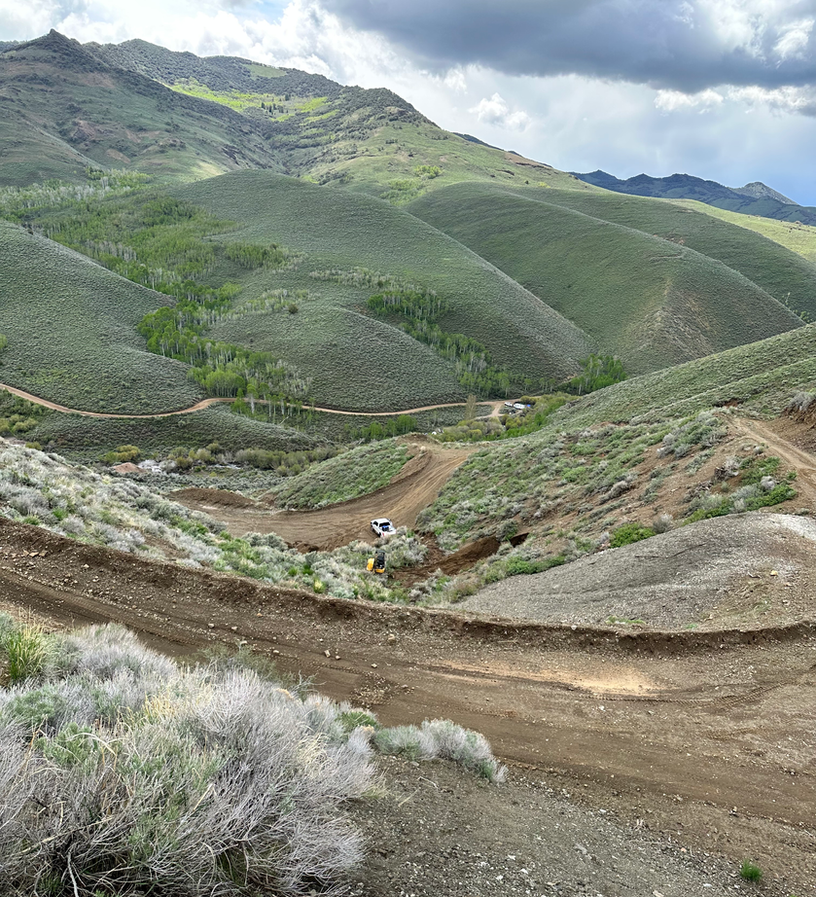
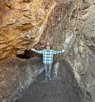
Humboldt Mining Company's gold property in Elko County Nevada consists of 52 unpatented lode mining claims and two patented mining claims. Humboldt has pursued an aggressive geologic mapping and drilling program to bring the property into production. Studies to date have revealed that the claims have the geologic potential and characteristic of typical Carlin-trend type gold properties.
EXPLORING UNTAPPED GOLD RESERVES
HUMBOLDT MINING COMPANY INC.
EXPLORATION ACTIVITIES
This is the perfect time to
invest LEARN MORE
DATABASE FOR
SELECTING TARGETS
WANT MORE INFO?
Request details of the drilling,
testing, and more...
DEVELOPMENT PLANS
Previous Work
Over the last 10+ years there has been a concerted effort including geologic mapping geophysical testing and drilling should enable Humboldt to reach a milestone for successfully starting the project under new leadership.
YEAR 2025
The resource was confirmed in 2025. Commercial production will begin.
YEAR 2026
2026 is focused on steady progress. Work continues where it makes sense. Systems and discipline come first.
2025 Operational Review
2025 was a foundational year for Humboldt Mining Company. Our focus was on validating systems, improving site readiness, and confirming that our assets could support responsible production.
Work throughout the year emphasized infrastructure, sampling, and process verification. Independent testing and field work confirmed that our material behaves as expected and that standard mining and processing methods are appropriate for the site.
By year end, we had established reliable operating procedures, secured access to priority areas, and gained the data needed to move forward deliberately. No aggressive expansion, no rushed decisions—just measured progress.
The outcome of 2025 was simple: reduced uncertainty and increased operational confidence heading into the next phase.

MINING CLAIMS
Humboldt Mining Company, Inc. has acquired rights to mining claims in the Mardis Mining District, located in sections 13, 14, 23, and 24; Township 44 North, Range 57 East in Elko County Nevada. Access to Humboldt’s mining property is 55 miles north on Highway 225, then 25 miles northeast on a gravel road to the mining claims near Charleston, Nevada. Water for drilling is available from 76 Creek on the property and the nearby Bruneau River (4 miles southwest). Power is available by on-site generation. Drillers, miners and other workers are available from nearby Elko, approximately 80 miles southwest. A custom mill at Jerritt Canyon located about 35 miles west is available for processing sulfide type ores from Humboldt’s mining property.
The mining property consists of over one thousand one hundred acres of land which includes 53 unpatented lode mining claims and two patented claims. See Claims Map. A number of these claims were mined in the 1930s and several up until the 1970s. These Mining claims around the Humboldt National Forest lands as more particularly described herein.
Check updated information on: DRILL HOLES
For additional information send a request to info@hmc.rocks

LOCATION
EXPLORING UNTAPPED GOLD RESERVES
Humboldt Mining Company, Inc has acquired rights to mining claims in the Mardis Mining District, located in sections 13, 14, 23, and 24; Township 44 North, Range 57 East in Elko County Nevada.
Access to Humboldt’s mining property is 55 miles north on Highway 225, then 25 miles northeast on a gravel road to the mining claims near Charleston Nevada.
CONTACT US
MAILING ADDRESS
Humboldt Mining Corporation, LLC
A Nevada Corporation
ALTERNATIVELY YOU CAN FILL IN THE FOLLOWING CONTACT FORM:
3220 Grey Hawk Court
Carlsbad, CA 92010
CONTACT INFO:
Email: info@HMC.rocks


